


4.2 km | 5.3 km-effort

User


FREE GPS app for hiking
 SityTrail
IGN / Geographical institutes
SityTrail World
The world is yours!
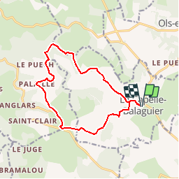
Trail Walking of 14 km to be discovered at Occitania, Aveyron, La Capelle-Balaguier. This trail is proposed by tracegps.
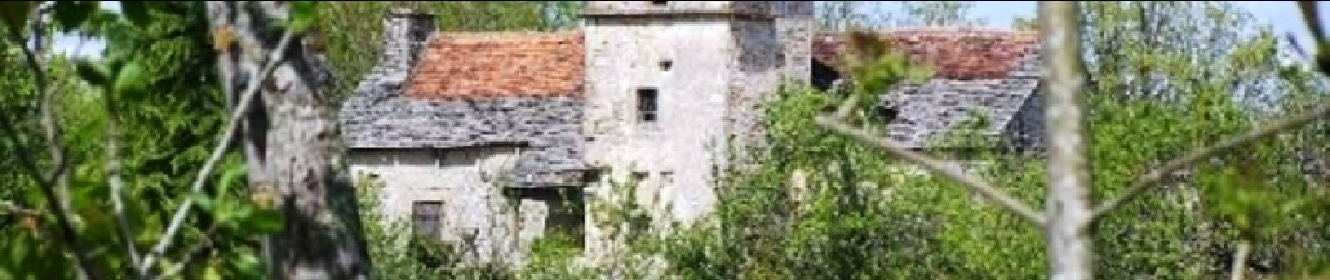
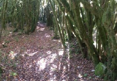
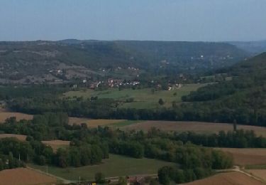
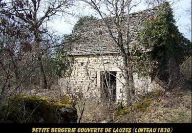
Circuit qui ne présente pas de difficulté et qui peut se faire sur une petite journée, en prenant le temps d'admirer les magnifiques fermes typiques de ce Causse de Limogne. Le circuit se fait en prenant la branche gauche au hameau de La Coste. Au Bournac, de la croix, beau panorama sur le causse et vers la vallée du Lot. Après Palaille le chemin contourne une magnifique doline avant de descendre dans un vallon que l'on remonte. Prendre à droite le petit vallon qui remonte vers Lacapelle Balaguier. Admirer la végétation: ail des ours, sceau de Salomon, lys martagon etc .... Sur le haut la croix des templiers mérite qu'on observe bien ses détails sculptés.


On foot
On foot
On foot
On foot
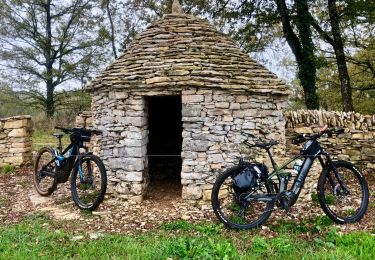
Mountain bike
Mountain bike
Mountain bike
Walking

Mountain bike